Thursday Night Update On Winter Weather In Oklahoma
We're continuing to monitor an approaching winter storm here in Oklahoma. Here's what we know as of Thursday evening.Thursday, December 6th 2018, 6:59 am
We're continuing to monitor an approaching winter storm here in Oklahoma. Here's what we know as of Thursday evening.

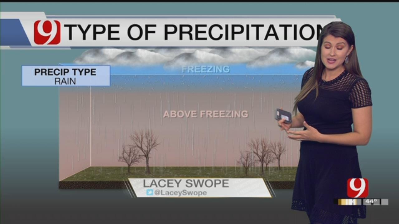
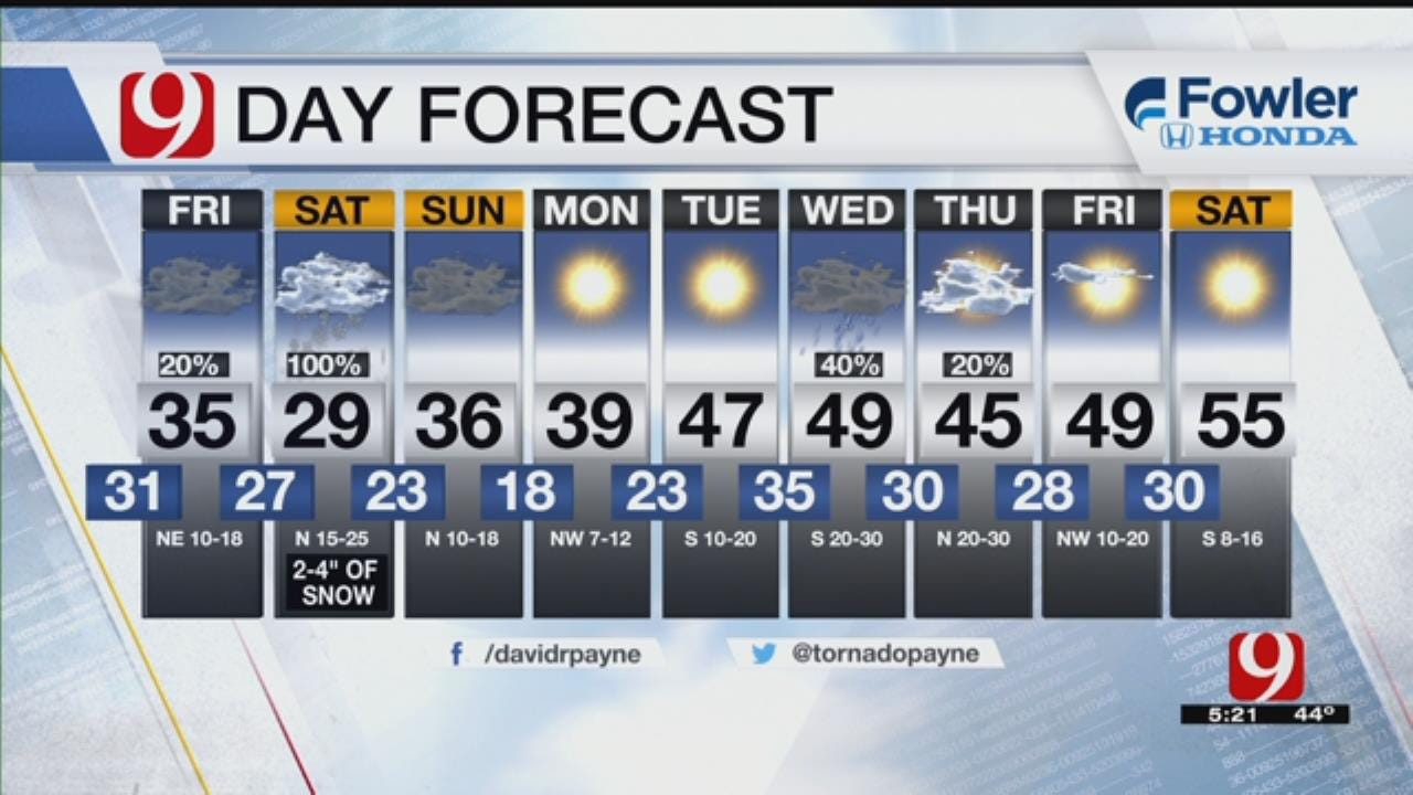
As of 5:20 p.m., the path of the storm has shifted a bit, and that shift is impacting our forecast. We are still expecting freezing precipitation, and we still expect that mix to turn to snow early Saturday across western and parts of central Oklahoma, leaving roads slick.

The precipitation gets started Friday night with a winter mix falling in parts of western and southwestern Oklahoma. They have a 40 percent chance of wintry precipitation while central and eastern Oklahoma has a 30 percent chance of rain.
As you'll see from this next graphic, we'll have a band of snow late Friday into early Saturday that encompasses an area from Altus to Clinton to Enid to Ponca City. Just east of that band, we'll see ice, sleet and snow. This includes most of the Oklahoma City metro area.

A cold rain is awaiting some of eastern and all of southeastern Oklahoma.
It all changes to snow by Saturday afternoon, and it will leave roads slick.

More Like This
December 6th, 2018
November 13th, 2024
October 28th, 2024
October 17th, 2024
Top Headlines
December 25th, 2024
December 25th, 2024
December 25th, 2024


