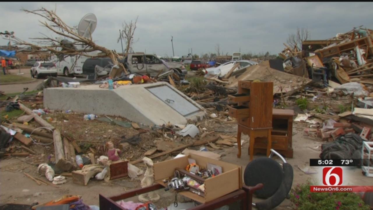
Tulsa Fire Department Maps Citizens' Storm Shelters
<p>With severe weather season here, emergency workers want to make sure they know where to find people if a tornado hits.</p>Tuesday, March 29th 2016, 5:42 pm
With severe weather season here, emergency workers want to make sure they know where to find people if a tornado hits.
The Tulsa Fire Department is mapping storm shelters in the city.
For several years, the shelter registration service has been available, and shelters are tracked through your utility bill. But, new GPS tracking can better pin-point your exact location if you're ever stuck in your shelter after a storm.
We all know the images of destruction following a tornado too well.
When the storm is ranging, thousands look to storm shelters for protection.
For a few years now, Tulsa's tally of storm shelters has grown.
"If we know there are pockets of people we can get to easily and get them out of danger and get them back to their relatives. That's what we want to do; we want to save as many people as fast as we can," said Stan May with the Tulsa Fire Department.
Initially, the registration system pinned the lot your storm shelter was on, but with storm damage, it can get hard to find. So now the GPS program can map your shelter within three to six feet.
May said, "The second we take the coordinates and hit the accept button it changes it on our map pages so we know right there that there’s a storm shelter."
The sign-up process is simple; first, register your shelter through the city by using your utility bill account number. Then, you need to contact the fire department to have someone log the exact location.
During the process you can add contact information, if anyone in your home has special needs, are elderly or have medical issues.
"As we've seen in Moore, several times, it happens, and storm shelters save lives, so it's important to register," May said.
Fire officials say if you opt for the direct GPS, someone will call to schedule a time, and it'll always be a uniformed Tulsa firefighter.
You can find more information here.
More Like This
March 29th, 2016
November 13th, 2024
October 28th, 2024
October 17th, 2024
Top Headlines
January 8th, 2025
January 8th, 2025
January 8th, 2025


