Tornadoes Touch Down As Severe Storms Roll Across Oklahoma
<p>Several tornadoes have been spotted as severe storms strafe across the state on Tuesday.</p>Tuesday, April 26th 2016, 7:13 pm
Several tornadoes have been spotted as severe storms strafe across the state on Tuesday.
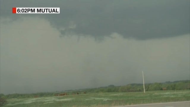
News 9 stormtracker Marty Logan spotted the first twister just after 6 p.m. It was the first official touchdown of a tornado in Oklahoma, on a day that has been heavily warned to produce severe and possibly damaging weather.
The small tornado dropped in a rural area in southeastern Woodard County, just to the east of the town of Sharon, Okla. More than 650 power outages have been reported in Sharon. There has been no word of damage or injuries reported at this time.
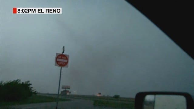
The second tornado was spotted near I-40 and Cimarron Rd., west of Yukon, just before 8 p.m. News 9 stormtrackers Hank and Patty Brown captured the tiny tornado move across the interstate. Power flashes have been reported in the area of SW 29th and Morgan Rd. and Council Rd., north of Mustang.
Oklahoma City Fire Department spokesperson Benny Fulkerson reports power lines down and roofing material blown off of buildings in the are of Northwest Expressway and Rockwell.
A rain-wrapped tornado was detected around mile markers 146 and 147 on the Turner Turnpike in far northeast Oklahoma County around 8:45 p.m., just southwest of the Luther area. The Oklahoma Highway Patrol (OHP) confirmed this tornado.
StormShield 9 Dual-Pol Radar also indicated a separate tornado near E. Simpson and Henney Rd. in southern Logan County.
More Like This
April 26th, 2016
November 13th, 2024
October 28th, 2024
October 17th, 2024
Top Headlines
December 26th, 2024
December 26th, 2024
December 26th, 2024
December 26th, 2024


