

Tornadoes Touch Down In Northern Oklahoma
<p>A tornado watch was issued for six north, central Oklahoma counties until 9 p.m.</p>Wednesday, May 25th 2016, 5:18 pm


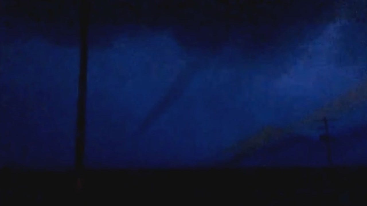
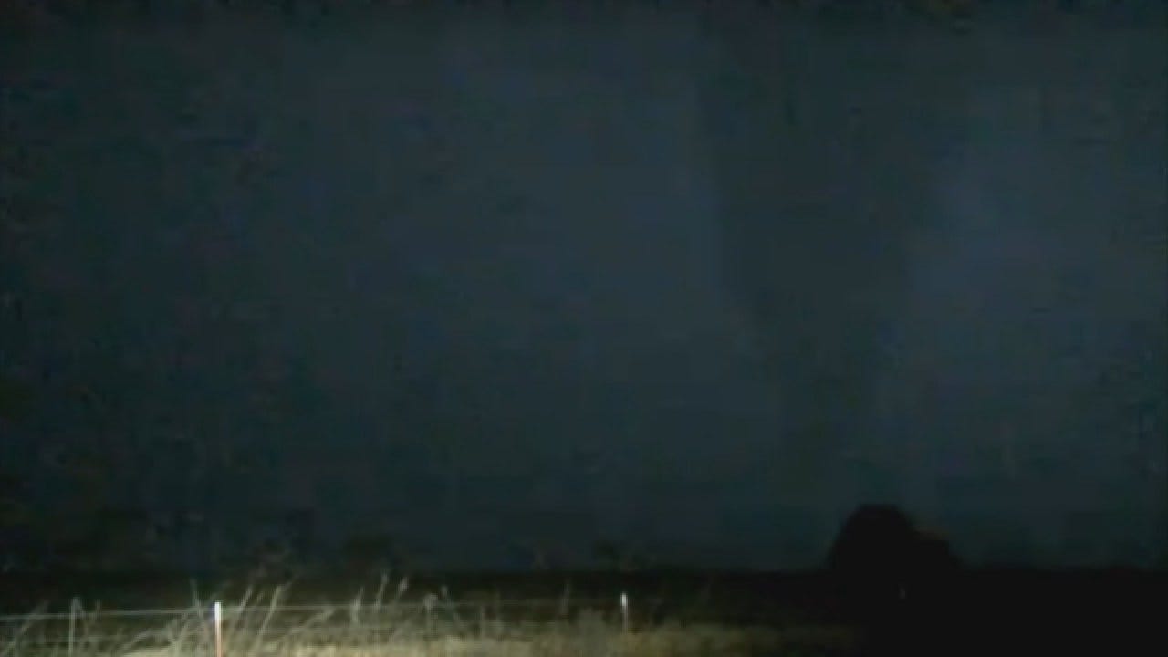
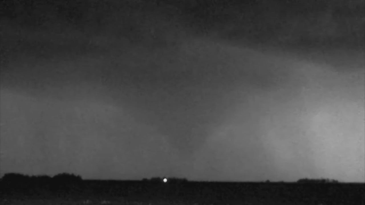
10:10 p.m. Multiple tornadoes touched down Wednesday night in northern Oklahoma.
A tornado warning was issued about 9:30 p.m. for Alfalfa and Garfield counties, and a tornado was spotted shortly afterward near Carrier, Oklahoma.
The storm produced multiple tornadoes near Goltry, Hillsdale, Carrier, Kremlin.
Golf ball sized hail was reported near Carrier as the storm moved north, northeast. Heavy rain prompted a flash flood warning for Garfield County at 10:30 p.m. to 1:30 a.m. Thursday.
4:30 p.m. A tornado watch was issued for six north, central Oklahoma counties until 9 p.m.
If storms develop out ahead of the dryline Wednesday evening, they would likely become severe with all modes of severe weather possible. However, the chance that storms do develop remains very low at this time.
Trackers are out regardless.
Chances for storms, including severe, are higher Thursday afternoon. Stay weather aware!

Get The Daily Update!
Be among the first to get breaking news, weather, and general news updates from News 9 delivered right to your inbox!
More Like This

May 25th, 2016

April 23rd, 2025


Top Headlines


April 25th, 2025

