Oklahoma's Severe Spring Weather Outlook
<p>Here we go as winter time is beginning to wind down across Oklahoma. </p>Wednesday, February 24th 2016, 11:10 pm
Here we go as winter time is beginning to wind down across Oklahoma. It's all about our severe weather season that is just around the corner.
Let's look back to what we saw last year. From March through May of 2015, we had 90 flash flood warnings in the News 9 viewing area. We had 514 severe thunderstorm warnings and 138 tornado warnings, more than any other place in the country.
We see about 55 tornadoes during a year in Oklahoma but for last year we had 109 tornadoes. March and April started out fairly slow and then May arrived and we had 83 tornadoes. Then by June and July it really started to drop off.
Jump forward to fall and winter, where we saw a raging El Niño, the strongest on record. During El Nino, the water down in the Pacific Ocean becomes very warm and that is a driver for the weather patterns across the U.S., including Oklahoma. That El Niño is beginning to weaken and it will continue to weaken throughout spring but it will still play a key role in our weather coming up.
Looking at the number of tornadoes during these weakening El Niño years of the past, basically the tornado count was at or above normal. A couple of big years, 1983 and 2010, we had a lot of tornadoes. So right now, we somewhat resemble 1983, so we'll have to keep a close eye on this and we're going to be tracking it.
We think it's going to set up like this, we've had a lot of rain, we've had a lot of snow to our north and to our west, the jet stream will still be strong out of the southwest and west coming out of Oklahoma. It's been very warm this winter in the southeast and the south and there's not been a lot of cold air making its way down into the Gulf of Mexico. There's a lot of moisture down there and it's rich moisture and that's going to be coming back north and coming in to Oklahoma as we get into March, April, May and June and that will be fuel for storm systems along with cold air with the jet stream overhead to what we think will be another active severe weather season here in Oklahoma.
So, our spring outlook on temperatures, we think we're going to be above normal on the temperatures for most of Oklahoma, near seasonal just to our west and below average to our southwest.
As far as precipitation we think again seasonal for a good chunk of Oklahoma, above average on the precipitation in the west and well above a little further west and then below average on the precipitation to our north and east. What does that mean for us?
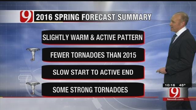
When you break it all down, it will be slightly warmer, but we think we have an active weather pattern. We think we'll have fewer tornadoes this year then what we had last year. We think we'll have a slow start but it will end active, especially as we get into April and May and this year we think we will have some strong and or significant tornadoes during our spring weather season and we will be tracking it.
More Like This
February 24th, 2016
March 14th, 2018
November 16th, 2017
Top Headlines
December 21st, 2024
December 21st, 2024
December 21st, 2024


