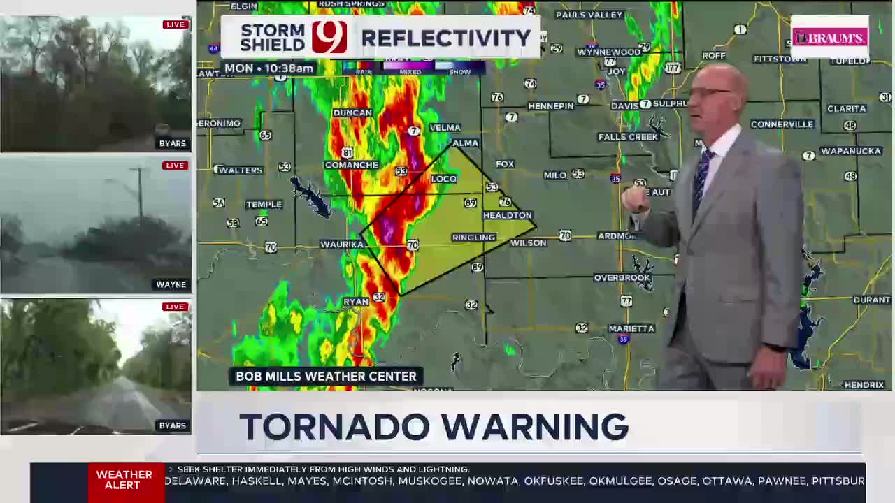
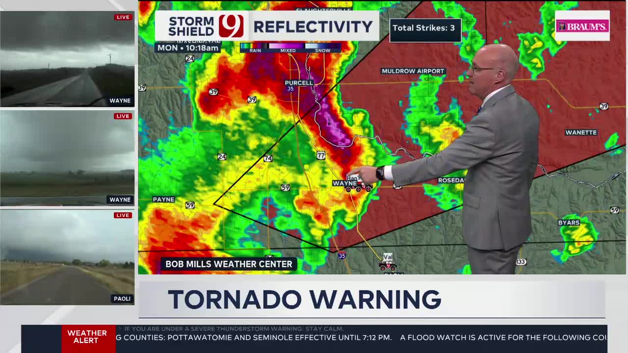
LIVE UPDATES: Tornado Warning Issued For Garvin, McClain, and Murray Counties
Oklahoma Weather Forecast: Bookmark this page and refresh it often for the latest forecast and daily updates.Monday, November 4th 2024, 11:48 am
OKLAHOMA CITY -
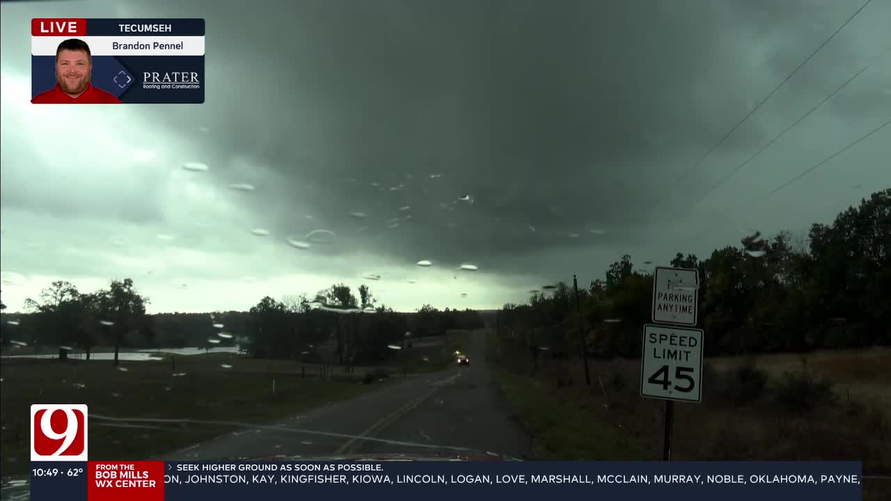
We’re tracking some significant storm activity rolling through Oklahoma on Monday morning, bringing the potential for severe weather, including hail and damaging winds.
Watch Live: David Payne and the News 9 Weather Team Track Severe Storms
This comes after a string of severe storms on Sunday spawned several tornadoes in Oklahoma, damaging homes across the state.
Several School Districts Canceled Or Moved Virtual Due To Storms
ACTIVE WARNINGS AND WATCHES:
A tornado warning has been issued for Carter, Garvin, Jefferson, Murray, and Stephens County until 11:45 a.m.
A tornado warning has been issued for Garvin, McClain, and Murray County until 12:15 p.m.
A tornado watch has been issued for Carter, Garvin, Hughes, Lincoln, Love, Murray, Okfuskee, Pontotoc, Pottawatomie, and Seminole County until 6:00 p.m.
A severe thunderstorm warning has been issued for Lincoln, Pottawatomie, and Seminole County until 12:00 p.m.
A severe thunderstorm warning has been issued for Okfuskee County until 12:30 p.m.
What is the weather like in Oklahoma on Monday?
Another large area of storms has moved in overnight. Some of these storms are severe with flooding rains.
We’ve seen a line of storms with multiple points of circulation. Due to low-level rotation, these storms could produce brief tornadoes.
The weather team is tracking potential wind gusts reaching 60-65 mph and quarter-sized hail, particularly in southeast and central counties.
Timeline and Severe Weather Risks
Here’s what to expect throughout the day:
Morning: Heavy rain and thunderstorms are already affecting the Oklahoma City area, with intense lightning reported. The initial round of storms is expected to peak around 6 a.m. in downtown Oklahoma City.
Midday: A second round of storms is expected to hit around 11 a.m. This is where we may see an increase in severe weather potential, including a heightened risk for tornadoes. The storms will move eastward through the afternoon, likely clearing out by 1-3 p.m.

While the drought has been the headline, flooding has been a concern in the areas with the highest totals.

Monday's highs are in the 70s with some wind.

Follow our meteorologists!
More Like This
November 4th, 2024
November 4th, 2024
November 4th, 2024
Top Headlines
November 4th, 2024
November 4th, 2024
November 4th, 2024
November 4th, 2024


