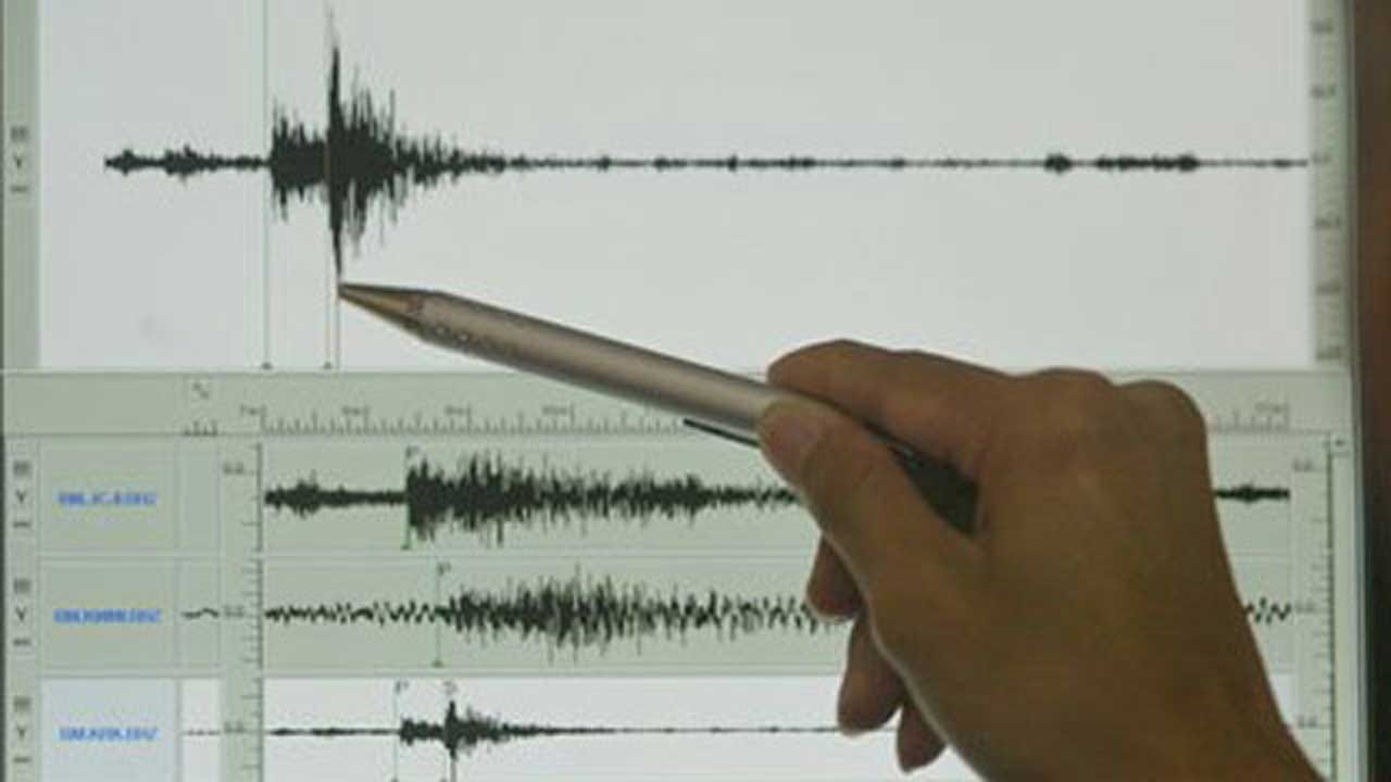
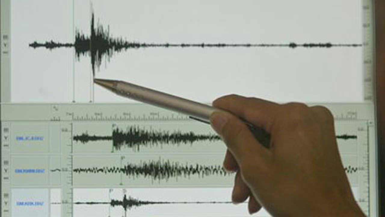
Pawnee County Rattled By 3.1 Earthquake
An earthquake was recorded Saturday evening in Pawnee County, the U.S. Geological Survey reported. The 3.1 magnitude earthquake happened around 6:15 p.m. Its epicenter was about 4.2 miles Southwest of Masham, 21.9 miles North Northeast of Stillwater, 22.3Saturday, December 1st 2018, 7:48 pm
By:
Kaitlyn Hawpe
An earthquake was recorded Saturday evening in Pawnee County, the U.S. Geological Survey reported.
The 3.1 magnitude earthquake happened around 6:15 p.m. Its epicenter was about 4.2 miles Southwest of Masham, 21.9 miles North Northeast of Stillwater, 22.3 miles South Southeast of Ponca City, and 73.2 miles North Northeast of Oklahoma City.
The quake was less than four miles deep.
No immediate reports of damage or injury have been reported.
More Like This
December 1st, 2018
December 2nd, 2019
July 25th, 2019
January 21st, 2019
Top Headlines
January 14th, 2025
January 14th, 2025
January 14th, 2025
January 14th, 2025


