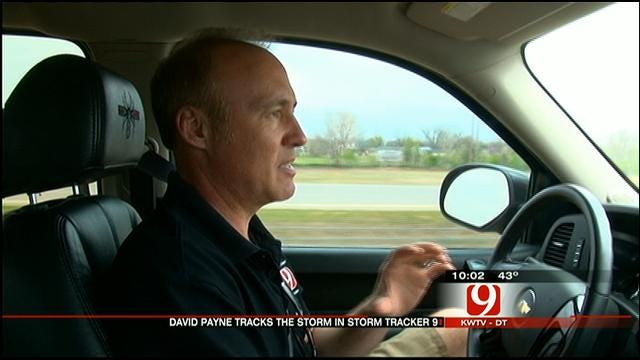
News 9 Weather Team Updates On Severe Weather Chances In Oklahoma
A shallow, crashing cold front has really stolen the show so far today, limiting the severe weather potential and shifting our attention toward a more wintry outlook overnight and Wednesday morning.Tuesday, April 9th 2013, 9:15 pm
A shallow, crashing cold front has really stolen the show so far today, limiting the severe weather potential and shifting our attention toward a more wintry outlook overnight and Wednesday morning.
As of 8:00 PM, temperatures range from 20s across northwestern OK behind the cold front, to 70s ahead of it in southeastern OK. Three-hour temperature drops of up to 40 degrees have been recorded as the front blasted across western and northern Oklahoma!
The severe threat for the rest of the evening and tonight is very low, but not zero. Large hail and damaging wind gusts will be the primary threats from the strongest storms.
Areas of showers and storms developing on the leading edge of the upper-level storm system overnight will have the potential to produce brief periods of heavy freezing rain or sleet. This would be most prevalent across western and northern OK. In fact, a transition to all snow is possible for the aforementioned areas.
Additional showers and storms will continue immediately behind the cold front this evening across southern and central OK – including Oklahoma City. As the cold air continues to build in behind the front, a mixed bag of rain, freezing rain, sleet and snow may occur overnight and persist into tomorrow morning.
While ground temperatures are far too warm for any significant snow or ice accumulations, bridges, overpasses, trees and power lines will be susceptible to minor ice and snow buildup. Combined with northwest winds of 20-30 mph with gusts in upwards of 50 mph, sporadic power outages may occur.
For additional weather updates, you can "Like" me on Facebook and follow me on Twitter @wxBender!
More Like This
November 13th, 2024
October 28th, 2024
October 17th, 2024
Top Headlines
December 27th, 2024
December 27th, 2024
December 27th, 2024
December 27th, 2024


