Cool Temps On Monday As Hurricane Beryl Remnants Move North Into Oklahoma
Oklahoma Weather Forecast: Bookmark this page and refresh it often for the latest forecast and daily updates.Monday, July 8th 2024, 10:05 am

OKLAHOMA CITY -
Monday has a chance of bringing rain and thunderstorms throughout most of the day, as there will be a 60% chance of rain and storms during the later part of the day.
What does the weather look like for Monday?
The highs for Monday will be much cooler as compared to last week as they are only supposed to reach the low 80s, with the lows staying in the high 60s.

Parts of the state have received multiple inches of rain over the past several days, which has kept temperatures down in the meantime.

As for the day ahead, storms are again possible for the Oklahoma City metro as more showers and storms are expected to move into the metro on Monday afternoon.

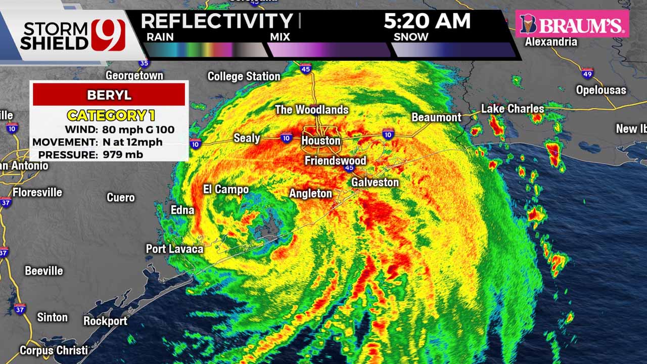
South of Oklahoma, Hurricane Beryl made landfall on the Texas coast. This storm brings heavy rain and winds to parts of Texas, which will inevitably move into Oklahoma Monday afternoon, albeit much calmer.


Monday night, rain continues in the far eastern parts of Oklahoma, and it will be nice for the rest of the state. Lows in the 60s across the state.
Enjoy the below average temps, because summertime heat builds back this week! As the remnants of Hurricane Beryl lifts toward Oklahoma, we will likely see increasing winds in the southeast. Our far southeastern counties could see gusts to 40 mph and localized flooding.
On Tuesday, highs will be in the upper 80s with sunny skies.
Follow our meteorologists!

Get The Daily Update!
Be among the first to get breaking news, weather, and general news updates from News 9 delivered right to your inbox!
More Like This


July 8th, 2024


