Damaging Storms Blow Through Northeast Oklahoma, Knock Out Power To Thousands
Oklahoma Weather Forecast: Bookmark this page and refresh it often for the latest forecast and daily updates.Sunday, November 3rd 2024, 10:07 am
TULSA, Okla. -
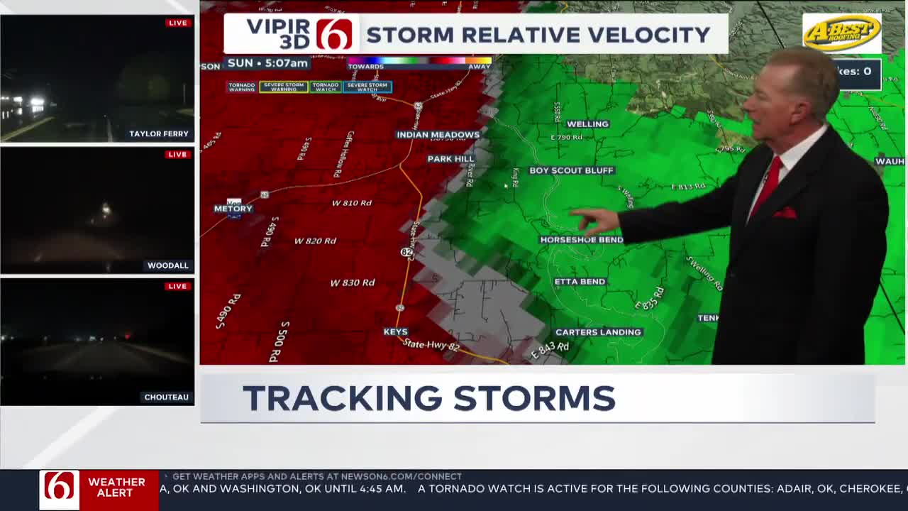
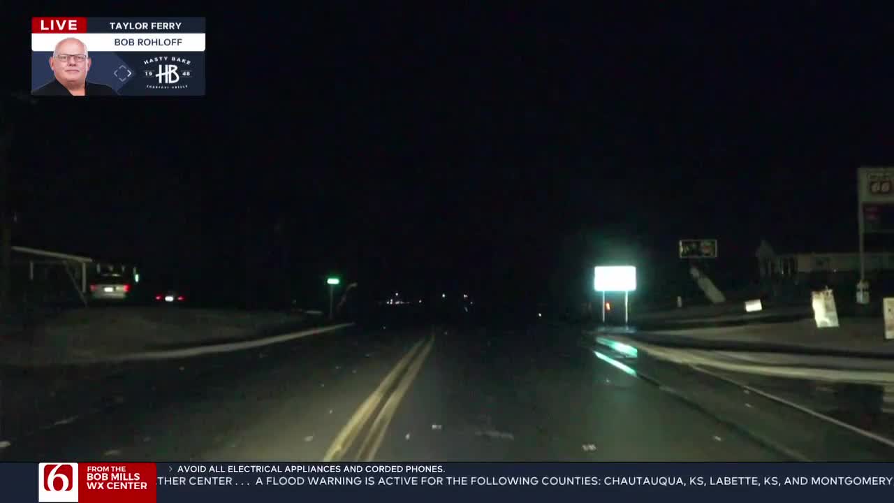
A squall line of severe storms blew through eastern Oklahoma early Sunday morning winds reaching damaging speeds of up to 80 mph in some areas. No injuries have been reported.
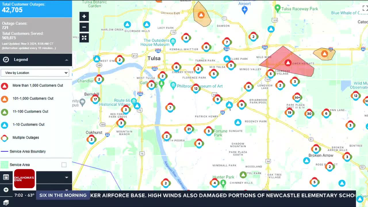
PSO has reported more than 40,000 customers are without power in and around Tulsa. (See Emergency Outage Info Below)
Flooding rains up to 3.5 inches have been reported in some areas including Tulsa County. The City of Tulsa advises residents to stay off the roads if possible. Anyone who must travel is urged to avoid downed power lines and loose debris, as these may pose serious risks.
East 61st Street near 209th East Avenue is closed due to debris in the road in Broken Arrow, drivers are advised to use alternate routes between 209th and 225th East Avenues.
To report downed trees or utility issues, the City of Tulsa has provided the following contacts:
- Trees in the Roadway: (918) 596-9488
- Power Outages or Downed Lines: Submit a report online or call (833) 776-6884
- Gas Leaks: Call 911 after evacuating the area
The severe storms have moved off into Arkansas, but rain and thunder will continue through Sunday morning for some. More rounds of rain and storms are expected on Monday.
Additional severe weather threats are expected to develop on Sunday afternoon and evening across southern sections of the state, with more severe weather anticipated on Monday across most of eastern Oklahoma.


Oklahoma Storm Timeline

The upper air flow features a deep trough over the western United States and a mid-level ridge of high pressure centered in the southeast creating a favorable southwest airflow over the southern and central plains.
This persistent southerly flow will bring significant moisture, setting the stage for showers and storms, including the possibility of heavy rainfall.
The main upper trough is expected to remain in the area until late Monday night or early Tuesday morning, with several disturbances rounding the base of the trough and affecting the state beginning this afternoon and continuing through the weekend.
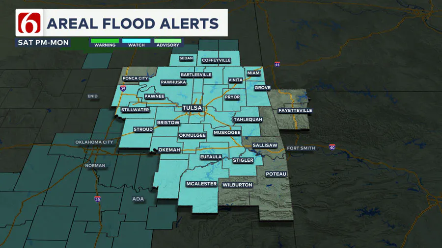
Timing these disturbances may be difficult, but each wave will increase the likelihood of showers and storms.
The first wave is expected later this afternoon and tonight, continuing into early Sunday morning.
We may see a brief lull on Sunday before more storms develop in the afternoon and evening, potentially bringing heavy rainfall and severe weather.
Thunderstorms are likely early Monday, followed by a final round of storms in the afternoon.
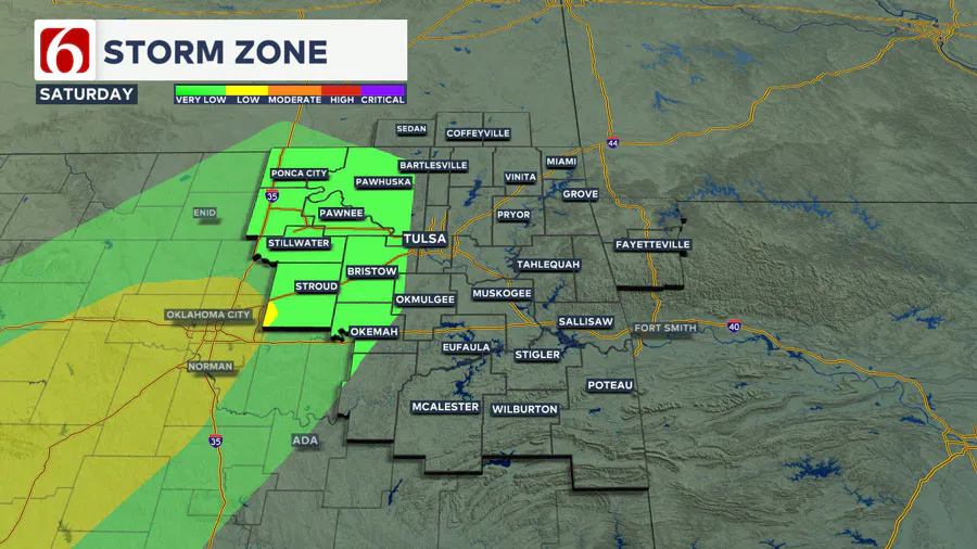
As the main upper air trough ejects to our northeast late Monday night and early Tuesday morning, dry air will wrap around the system, leading to mostly pleasant and dry Election Day weather with morning lows in the 50s and daytime highs in the mid-60s.
A consensus of data suggests another storm system could approach the area late next week, but timing may change. Low-end probabilities for showers and storms will remain in the forecast from late next week into early next weekend.
Emergency Info: Outages Across Oklahoma:
Northeast Oklahoma has various power companies and electric cooperatives, many of which have overlapping areas of coverage. Below is a link to various outage maps.
Indian Electric Cooperative (IEC) Outage Map
Oklahoma Association of Electric Cooperatives Outage Map — (Note Several Smaller Co-ops Included)
The Alan Crone morning weather podcast link from Spotify:
https://open.spotify.com/show/0dCHRWMFjs4fEPKLqTLjvy
The Alan Crone morning weather podcast link from Apple:
Follow the News On 6 Meteorologists on Facebook!

More Like This
November 16th, 2024
November 16th, 2024
November 15th, 2024
Top Headlines
November 16th, 2024
November 16th, 2024
November 15th, 2024
